
Utility Inspection
Overhead Pole Assessment (OPA) RGB Imagery, Thermal, and LiDAR Data Collection Services
Increase personnel safety and reduce service outages with proactive and actionable data of utility assets. Lower O&M costs by minimizing truck rolls and provide a more proactive maintenance approach instead of a costly reactive approach. The data provides a digital asset, increasing workflow optimization for future planning and replacement.
· No physical contact with assets, lines, and poles
· No foot travel on ROW
· Safely locate deficiencies while reducing safety hazards
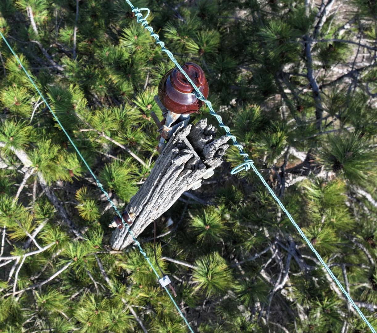
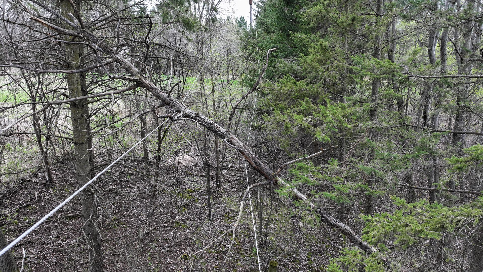
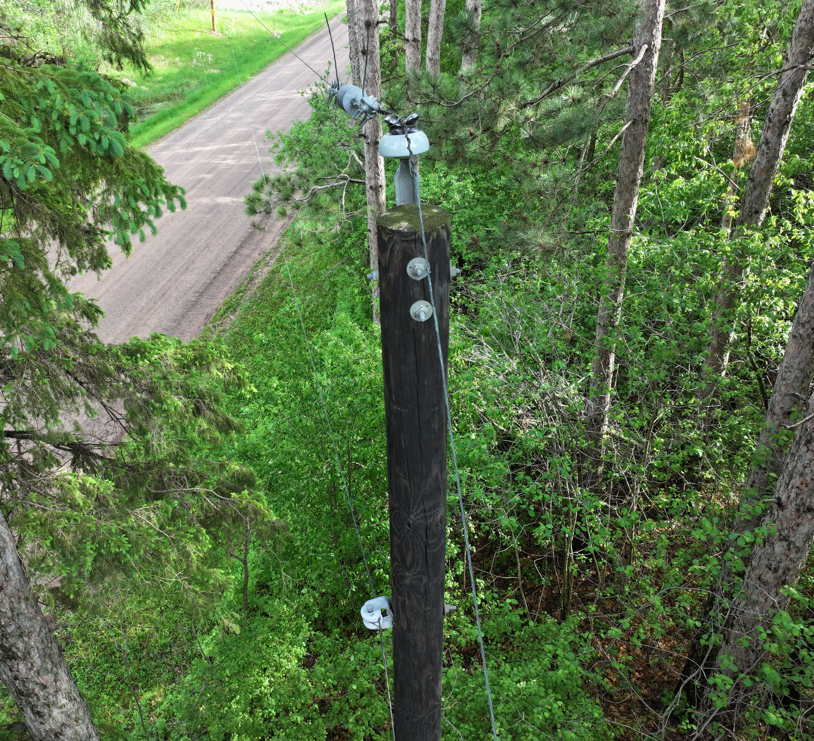
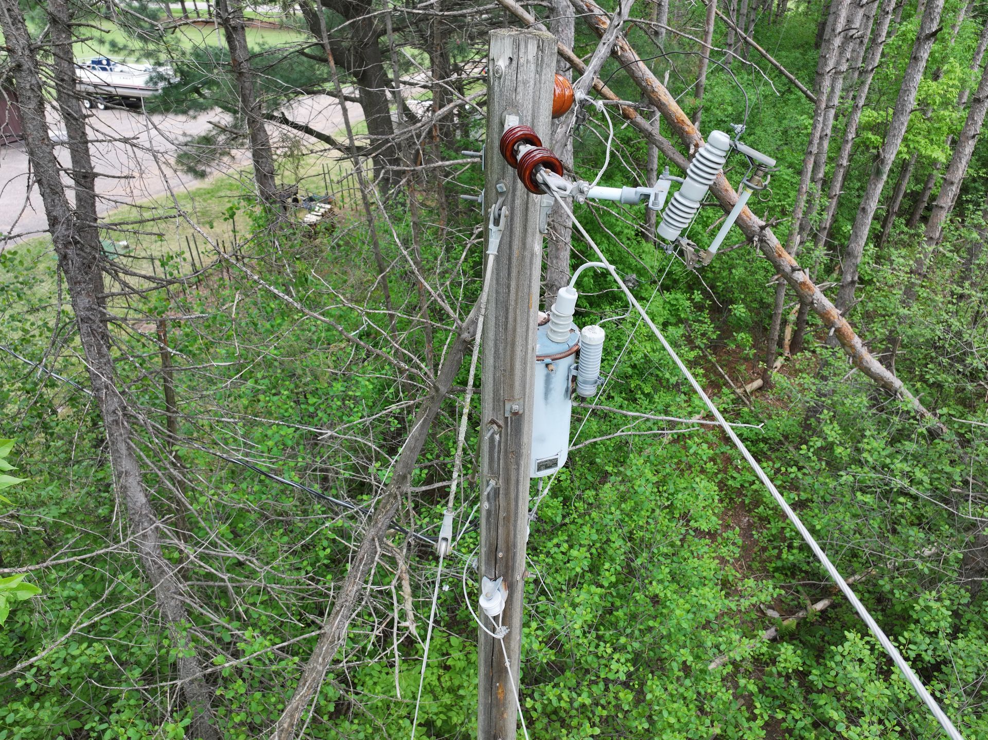
Services Solutions
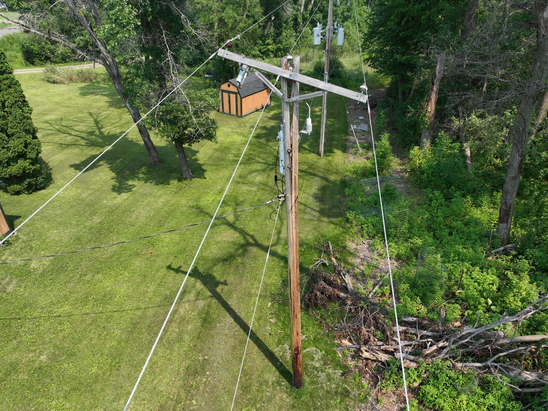
Quickly, safely, and cost effectively, gather valuable data and inspect assets, poles, transformers, substations, in high resolution imagery
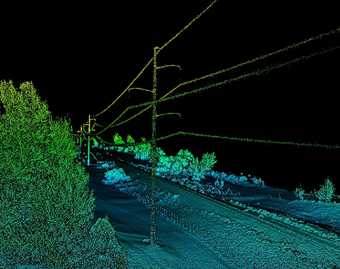
UAV Mapping - Utilizing LiDAR and Photogrammetric UAV’s
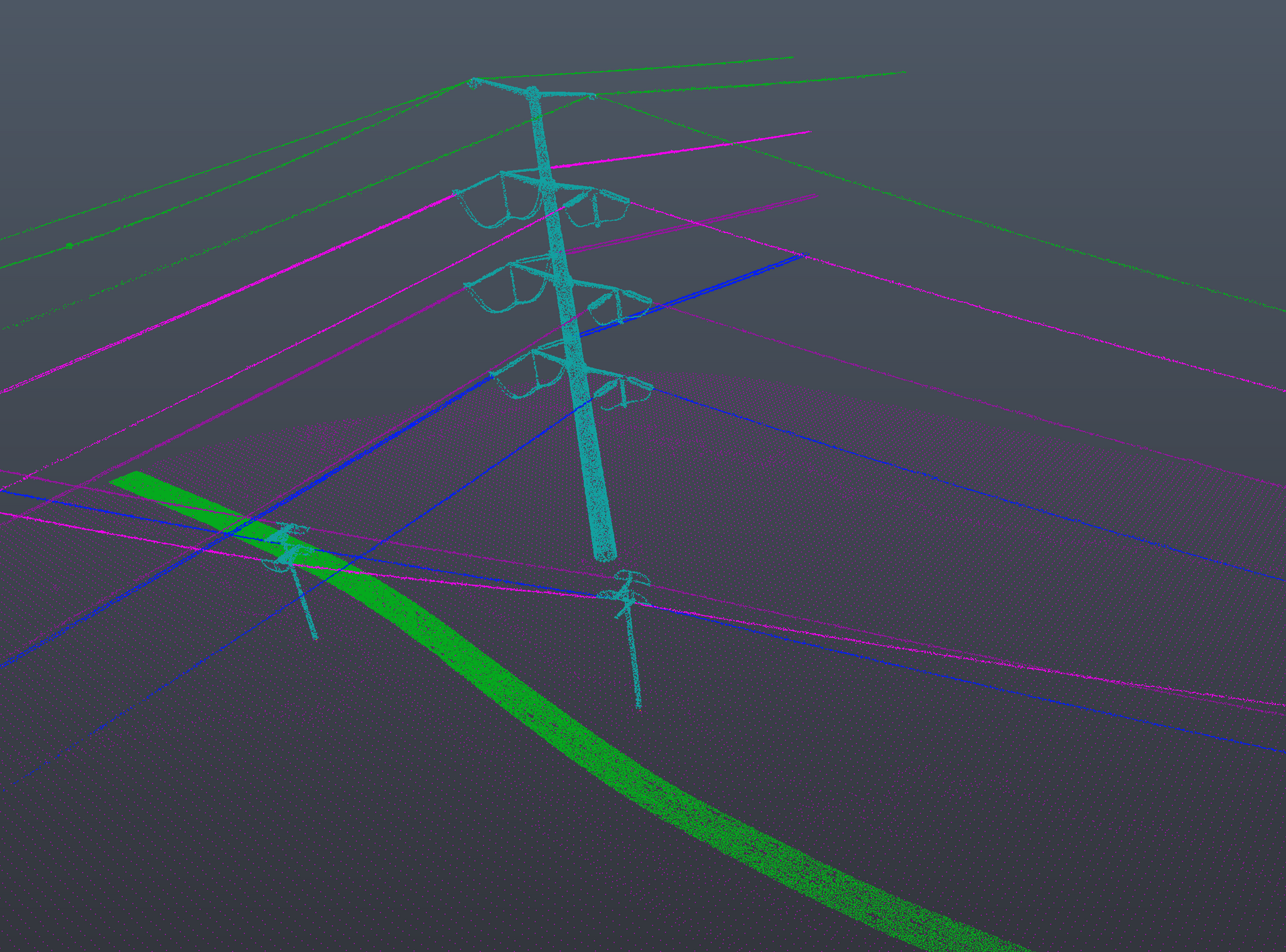
- Highly accurate, dense, 3D model/point cloud with millions of points to measure and analyze the data
- Calculate linear, areas, height, elevation, gap, catenary sag, angle, attachment points, as built locations, comparison to previous dataset
- Vegetation encroachment
- Accurate as-built and digital twin for future planning and reference
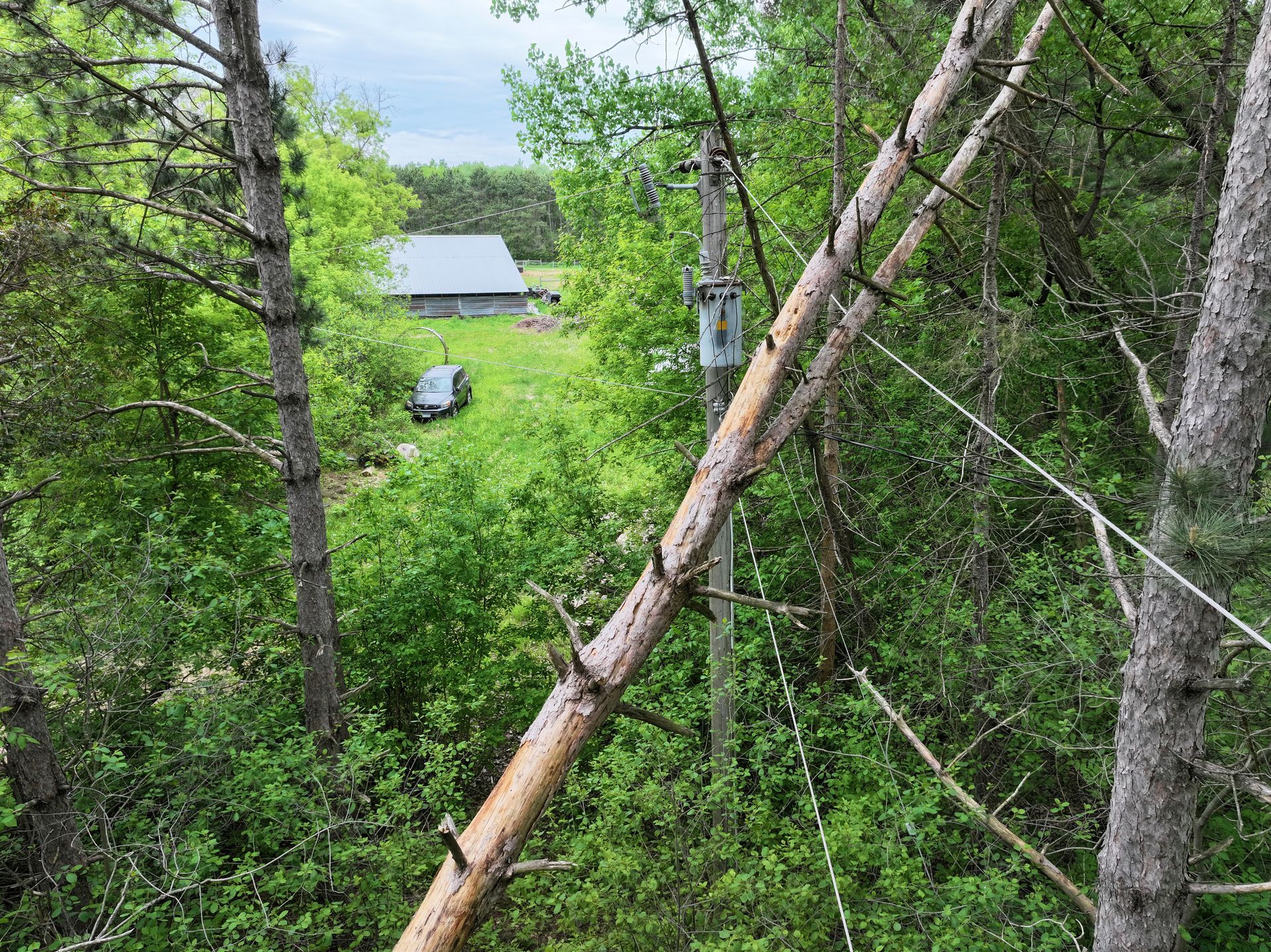
- Post and pre-storm analysis and assessment
- Pre-storm model will verify what replacement materials are needed in the field. Pole height, diameter, material, etc.
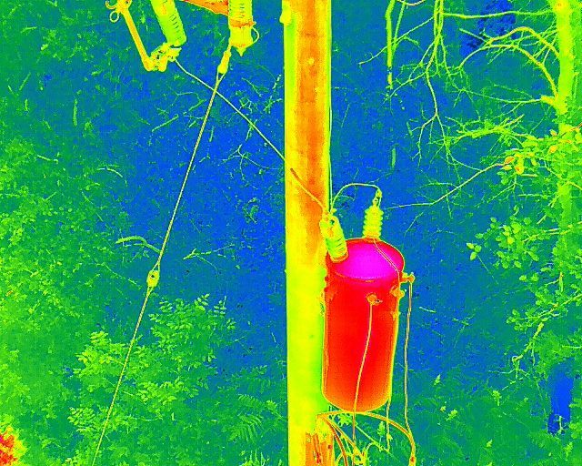
UAV Inspection - Utilizing visual and thermal (IR) sensors on a UAV
- Verify integrity, increase resiliency, and improve safety of assets for maintenance on the grid
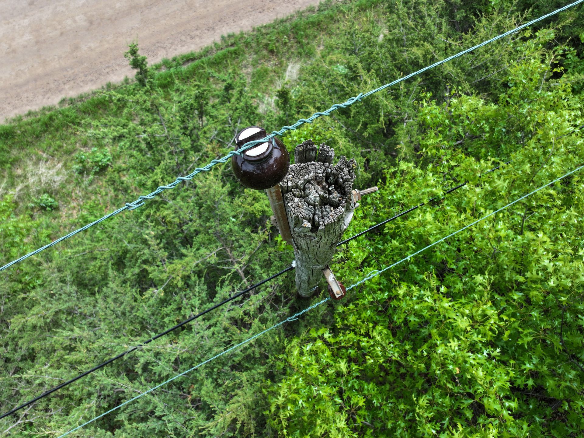
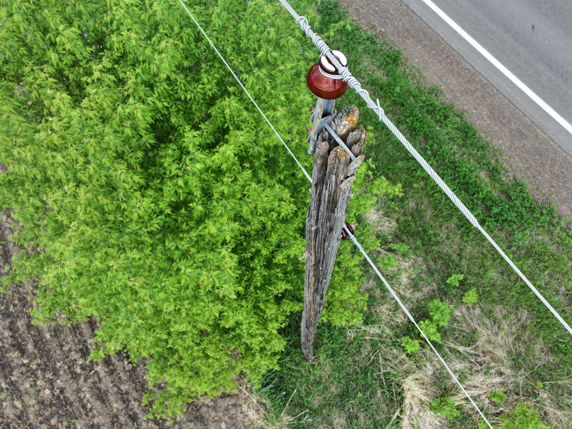
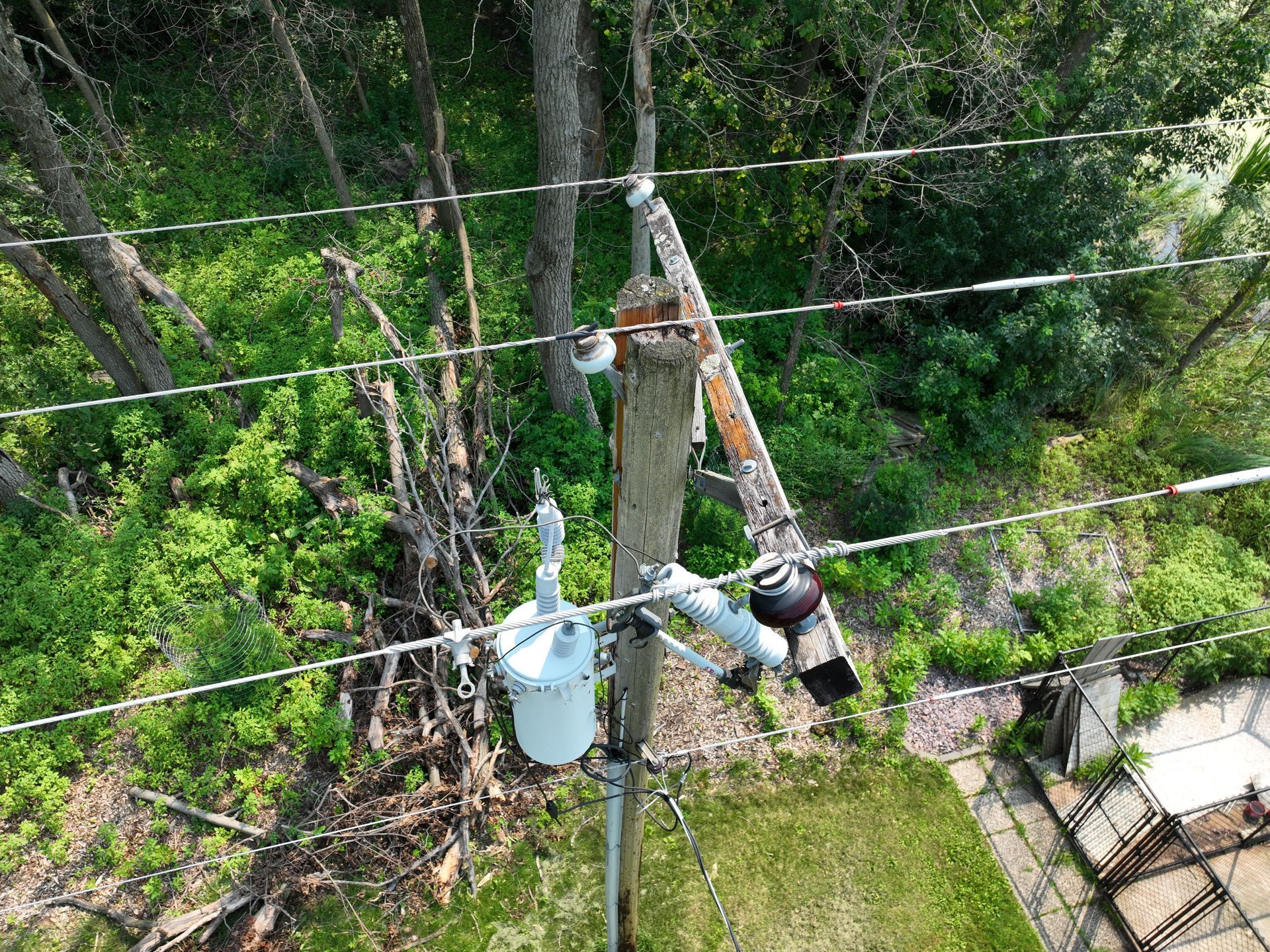
- Tower, poles, attachment points, insulators, transformers, risers, dampening, grounding, pole condition, leaning, rot, holes, crossbeam integrity, moss, birds nests, corrosion, missing grounding, etc.
- Vegetation encroachment
- Show hot spots on worn assets out to replace before more damage occurs
- Transformers, substations, switches, bushings, connection points, or other failing components
- Analyze the effectiveness of solar panels quickly